Tuesday, May 20, 2014

Up and Down Trail, Cronan Ranch, May 2014

20 May 2014

A nice 4.5 mile walk with flowers and a little tiny bit of rain. I'll just post a bunch of photos instead of blathering on and on.

Here we go!


Friday, May 2, 2014

Magnolia Ranch, Highway 49, Pilot HIll, California

May Day, 2014

I had intended to go out to Cronan Ranch (adjacent to Magnolia, also administered by the BLM/American River Conservancy) but the gate was still locked after the last two days of star thistle abatement spraying. I guess 6:30am is too early.

Magnolia Ranch, shadier, is better for flowers.
I tried some flower pictures with my cellphone. One good, one bad.


So I ended up walking through lots of tall damp grass, dressed for clear dry trails. And - I got my very first tick. All the years hiking out here and in Michigan, and my first tick. I pulled the sucker out when I got to the car. I'll keep an eye on my ankle for the telltale rash of Lyme's.

I'll be picking up some of the spray Permethrin solution for shoes, gaiters, socks, and pants legs. And a tick spoon, as tweezers work fine on other people and dogs, but not so great on my nearsighted self. My ankle, despite years of yoga, is still very far away from my eyes.

The river was lovely.


Magnolia Ranch is a better choice than Cronan Ranch if your goal is to see the river quickly and easily. There were a whole fleet of gold prospecters in the parking lot when I returned. We chatted about rattlesnakes and other interesting things. I wished them luck.

Friday, April 25, 2014

Eagle Lakes trailhead to Fordyce Creek, Tahoe Nat'l Forest. Overnight.


April 23-24

First backpacking trip of the year!

Organized through a local Meetup group, our group of six met at the Eagle Lakes trailhead at 9:30 on Wednesday morning. It was good to see my friend Laura, the trip organizer, again.


I had hiked this very trail with her 5 years ago and this go-around was a lot easier, with a lighter load on my back and on my body. Two couples, one retired, and one not, were the other four merry hikers, with a charming Airedale terrier thrown in for cuteness.


It was 40 degrees at the trailhead. It did not freeze at night, as far as I could tell.

The first section of our hike is on (legal) off road vehicle trails. On a weekday, it was very quiet, but we did see a handful of 4WD heading for Driveline Hill. One of the drivers was happy to explain what they were doing. The black truck in the background made it up with only one or two false moves.


Then we crossed a beaver dam and left the drivers to their fun, crossing Fordyce Creek on a bridge just before arriving at our campsite. I think our hike was about 4 miles.


We had a lovely campsite among pines very near a wide gravel beach on Fordyce Creek. Campfire, marshmallows, tall tales. The usual.


The next morning felt warmer than the night before. We hiked out after breakfast. I was home by 2pm. So it was a well-spent 30 and 1/2 hours (including driving time).
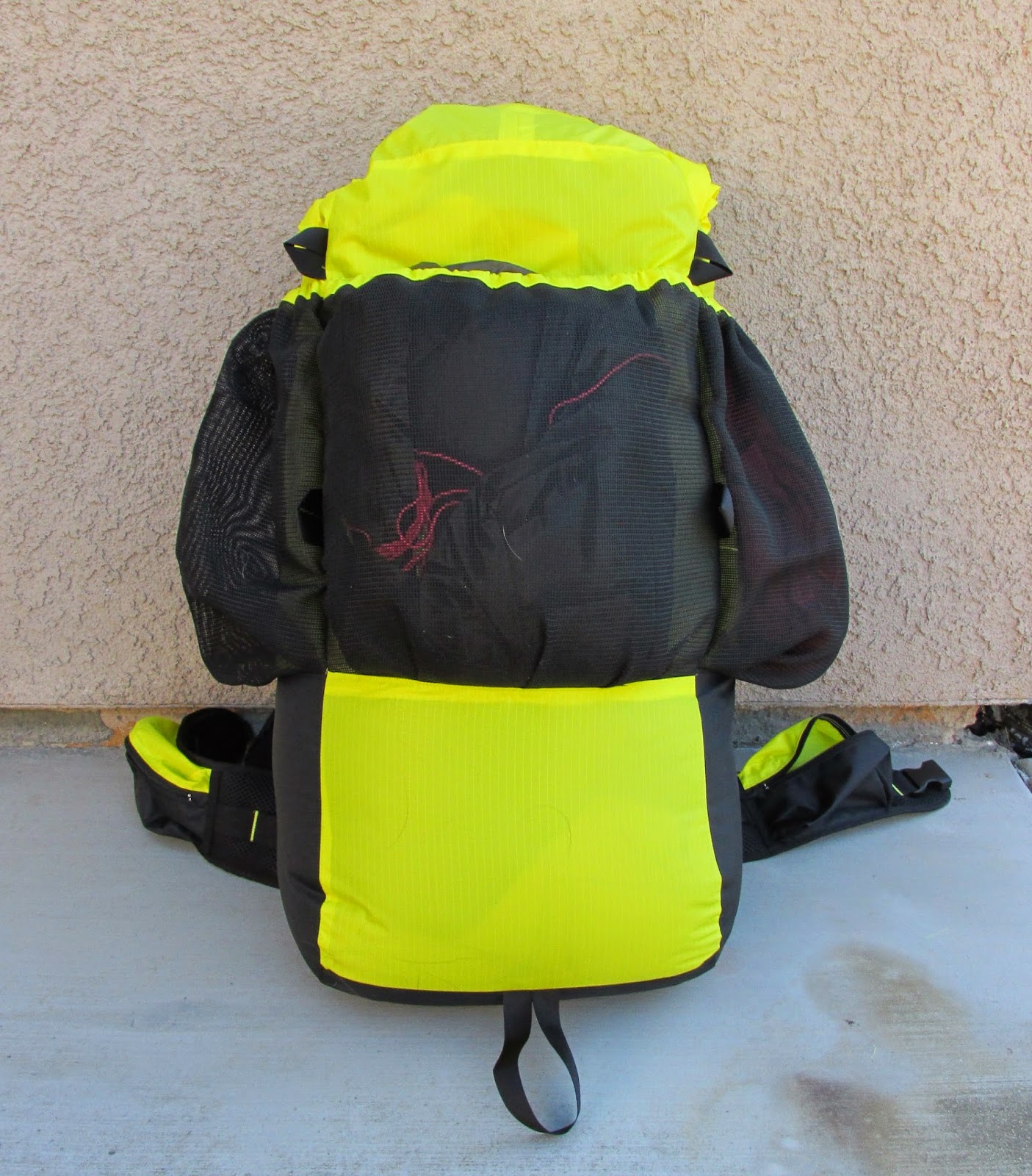

Random gear photos


Monday, April 14, 2014

Hidden Valley Cutoff, Cronan Ranch Regional Park, Pilot Hill, California

Went out with two others of the Four Yoginis to hike Cronan Ranch this morning. (The fourth is an honorary Yogini since she came along last year on another yoga-class-organized hike).

It was nice and cool when we set out, but rather warm galloping up the hills back to the trailhead. Galloping, at least, compared to my usual dawdling pace.


We took the ranch road as far as the kiosk, then turned left onto the Up and Down trail, then staying to the right twice to catch Hidden Valley Cutoff. Eventually, we hooked up again with U&D, to get down to the river proper.

4.1 miles per my Strava app, and a moving pace of a 20 minute mile average - just right!


Lots of flowers today, only one of which I managed to capture: one of the famous Yellow Flowers.


Great views of the green hillsides, some grayed over with invasive thistle plants.


One annoying landscape blight in the distance (taken with my little Canon point and shoot at max zoom) but we soon hiked to where we didn't notice it so much.


Some wildlife signs (turkey, here).


And some more pretty pictures to finish it off.


Tuesday, April 8, 2014

West Ridge again, with a pack!

I boogied over to Cronan Ranch Regional Trails park just before dawn, to beat the heat, give the doggo a little trail time, and to see how my homemade backpack carried. It carried well!


I made a version of the G4 pack, shortening the body and removing the bulge on the bottom half of the pack. It is about 38 litres capacity, not including the top collar and the three outside pockets. It holds my stuff nicely, with room for more than one day's food if I so desire.


My baseweight (the pack and contents minus consumables like food, water, and fuel) is a lovely and light 13 pounds. That's half what I used to carry 10 years ago. This will keep me comfortable, warm, and dry down to about 30 degrees F at night. I'm so excited!

I promise I'll get out somewhere other than West Ridge Trail real soon now.

Thursday, March 20, 2014

West Ridge Trail, again

How can I resist a hiking spot like this, a mere 20 minutes from my house, and near a great bakery?

7am is about dawn, these days.


Too cloudy for pretty sunrises, but did get a nice shot of a partial secondary rainbow.


Went a bit farther this time, far enough to get a view of the river from up high.


And a bonus hummingbird nest. In the poison oak, no less.


Tuesday, March 11, 2014

West Ridge Trail, Cronan Ranch Regional Park, Pilot Hil, CA

I've lost some weight in the last couple months and I was curious to see how I'd do on the uphill section of West Ridge Trail. Also, I took my dog with me (after several year of not hiking with her) as the canine NSAID she is on has helped her arthritis very much.

We both did fine. With 20 pounds less to haul up the hill, I felt no real need to stop and gasp for air. I did stop for Dog Doody Duty and for some nice landscapes, but I didn't feel the need to stand around extra long. The dog was (I shall anthropomorphize here) disappointed to turn around at the picnic table at the top. No signs of limping so that is good.

It is a bit over a mile and a half round trip to the first table. It is about 300 feet up to the table. Seems like more.

I saw one mountain biker and one runner with a dog. Several other cars were parked at the trailhead when I arrived.

On to the pictures!